Unlock the potential of satelliteimagery and AI in your business
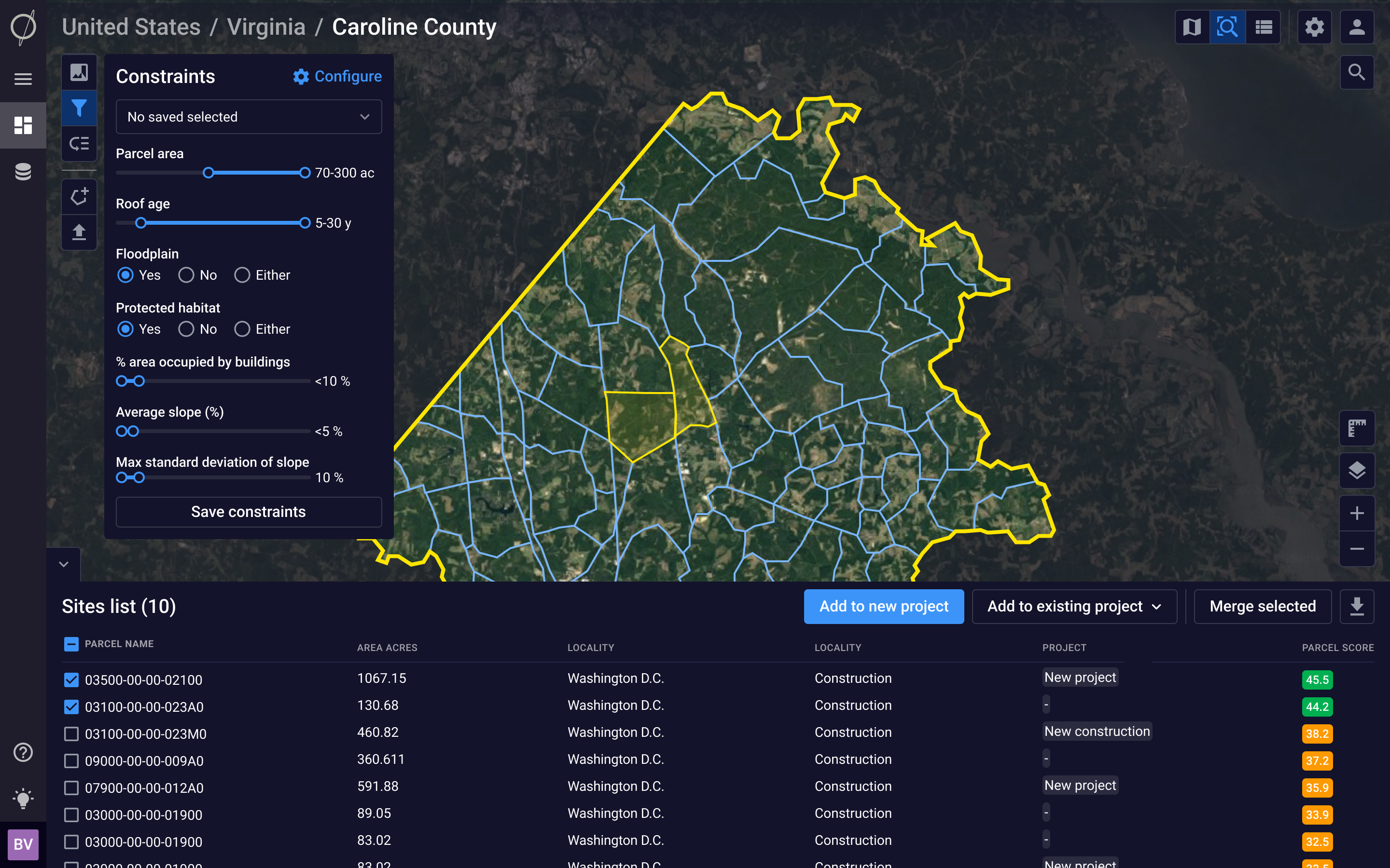
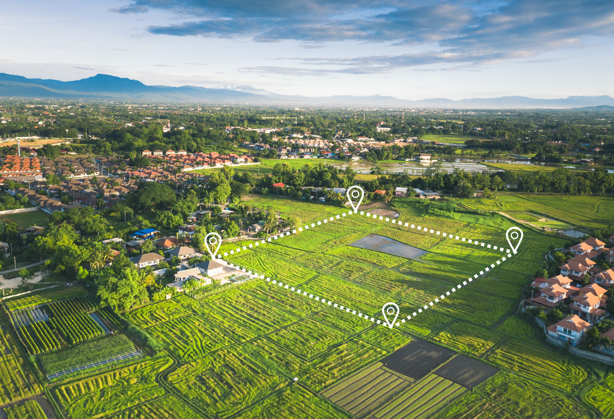
Real Estate
Uncover new areas for site development, track construction progress, and accelerate project diligence with reports to share with your teams or investors
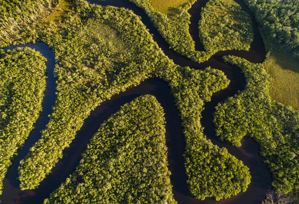
Leverage our change detection algorithms and real-time imagery to detect conservation efforts or verify carbon credits with our digital MRV capabilities
Uncover new areas for site development, track construction progress, and accelerate project diligence with reports to share with your teams or investors
Renewable Energy
Monitor infrastructure assets in real time, gain insight into energy transition, and collaborate across teams from origination to exit
Conservation Finance
Leverage our change detection algorithms and real-time imagery to detect conservation efforts or verify carbon credits with our digital MRV capabilities
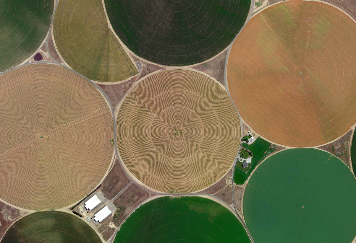
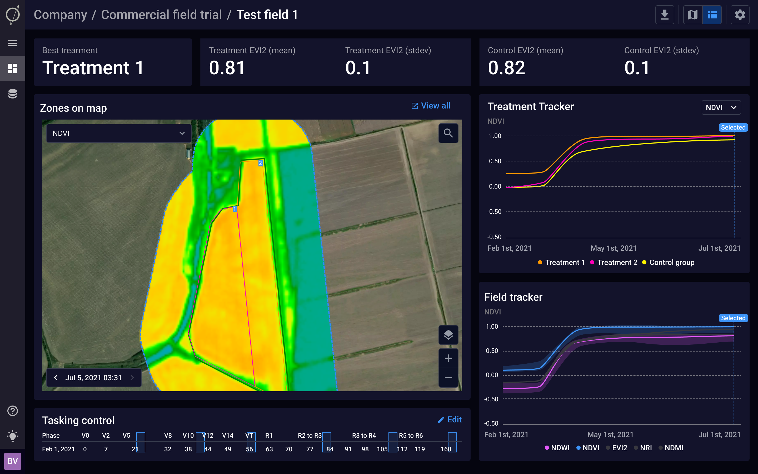
Agriculture
Rapidly generate derived analytics to enhance precision agriculture and support sustainability efforts in your fields


.png)